From Our Partners in the NSU Libraries – Join Workshops on Statista and PolicyMap

Statista – Join us to learn about this library resource!
Description:
Are you looking for statistics and data for your classes, presentations, and research? If your answer is Yes, then look no further. The Statista database platform is one of the world’s most renowned data and statistics portals. More than 4,500 academic institutions worldwide use Statista. Join us to learn how it can help you.
Statista consolidates over 3 million data points on over 80,000 topics from more than 22,500 sources. Market Outlooks provide market sizes, forecasts, and other indicators for the digital economy, key consumer markets and relevant automotive markets, and key economic and social indicators for up to 150 countries. The Global Consumer Survey allows analyses of consumer behavior and media usage in the online and offline world based on the data of 400,000 consumers from 46 countries, who were surveyed on 50 topics and 5000 international brands.
Date and Time: Tuesday, April 16, 2024 at 12-1pm
Location: Online
Zoom Registration Link: https://nova.zoom.us/webinar/register/WN_jNNqgtVbQ_adztoQAoeeuQ
Presenter: Rachael Williams, Client Success Manager at Statista
For more information: Majid Anwar manwar@nova.edu
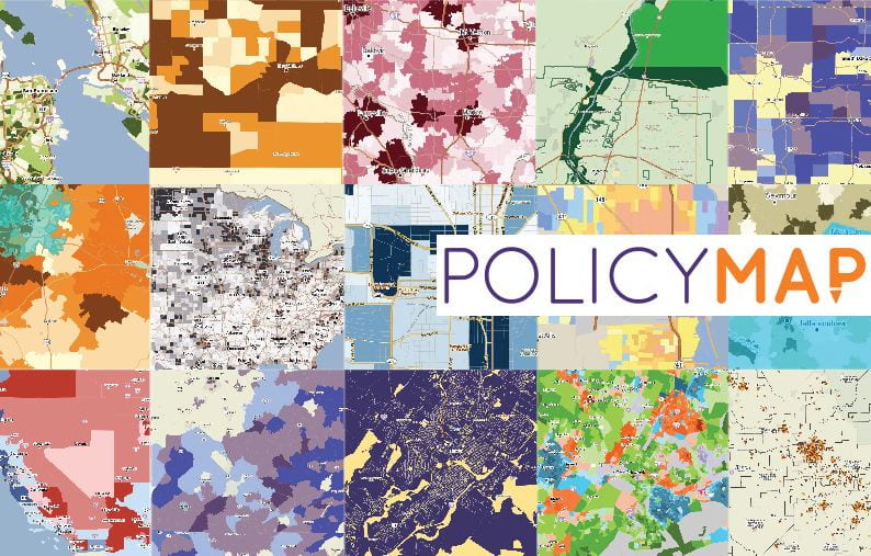
PolicyMap – Join us to learn about this library resource!
Description:
PolicyMap is a U.S. national data and mapping tool that combines a curated, comprehensive geographic data library with simple, robust mapping and analytics tools. It is used for research, market studies, business planning, grant applications, impact analysis and more. Users can leverage thousands of U.S. data indicators in PolicyMap to perform demographic and socioeconomic analysis, from a neighborhood census block group up to a national level, as well as create custom regions, for their research and studies.
This session will highlight the datasets available in the tool and will cover the basic user interface (searching for locations, loading datasets, saving & printing) as well as unique custom functionality (creating custom regions, editing ranges, customizing colors, etc.). We will also cover how to quickly upload a point (address) dataset to share or for internal study, downloading point and layer data, and how to use the Multi-Layer Maps tool to overlay up to 5 layers of data. Some of the newer features we will highlight are Map Extent, which allows users to see how data layer ranges are represented locally, and the OR function in Multilayer Maps, which introduces colors and patterns to show how 1, 2, or more data layers might overlap.
Date and Time: Tuesday, April 23, 2024 at 12-1pm
Location: Online
Zoom Registration Link: https://nova.zoom.us/webinar/register/WN_ewMrkzYDTbKKdzdx061C0g
Presenter: Aaron Klein, PolicyMap
For more information: Majid Anwar manwar@nova.edu